Autonomous Survey Platform for easy Bathymetry Mapping
Multibeam Bathymetric Surveys USV
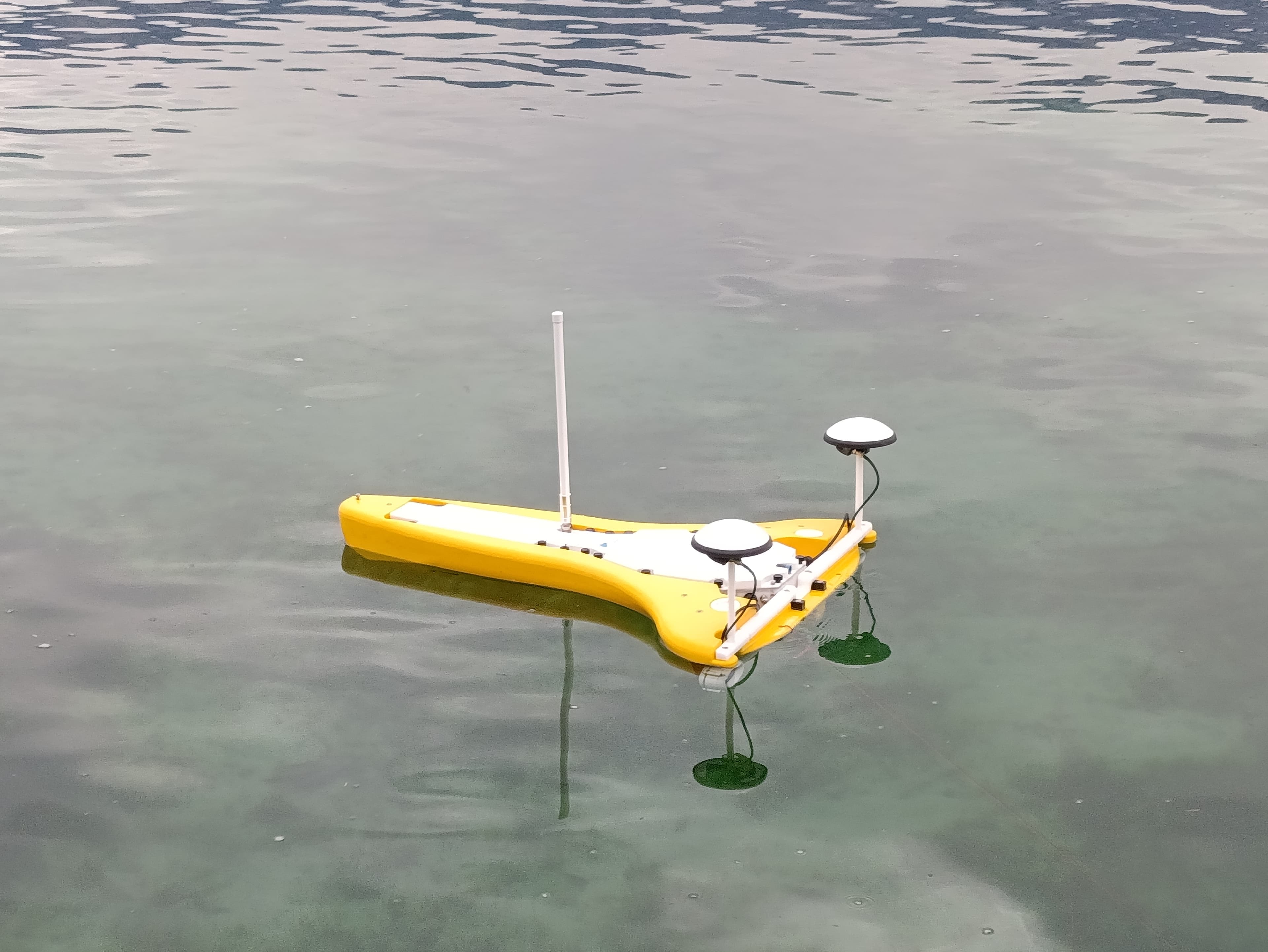
USV Sigma
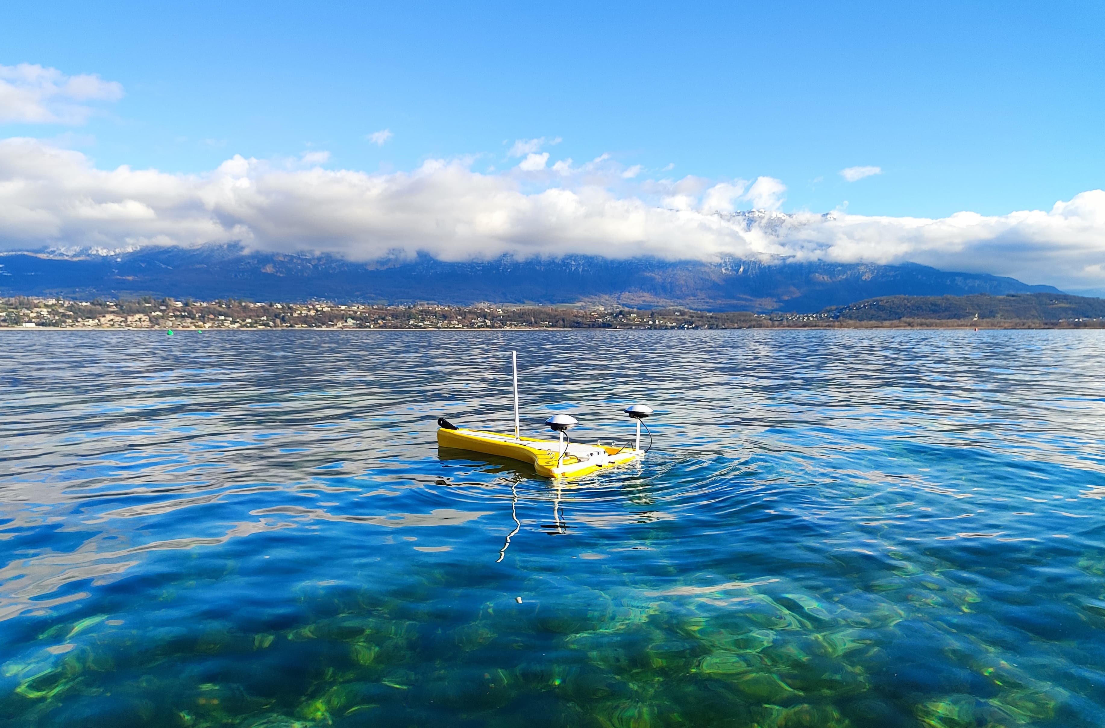
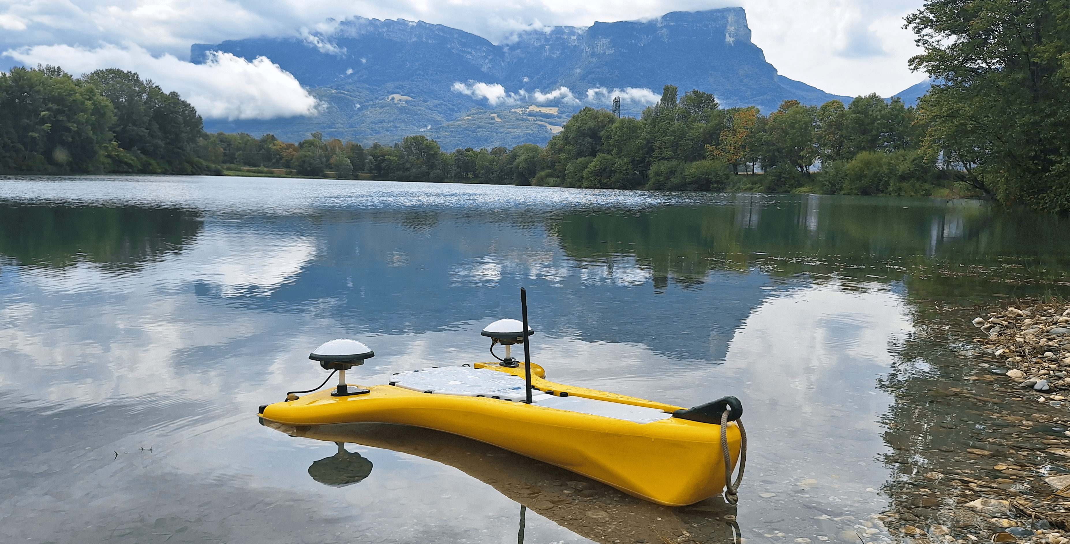
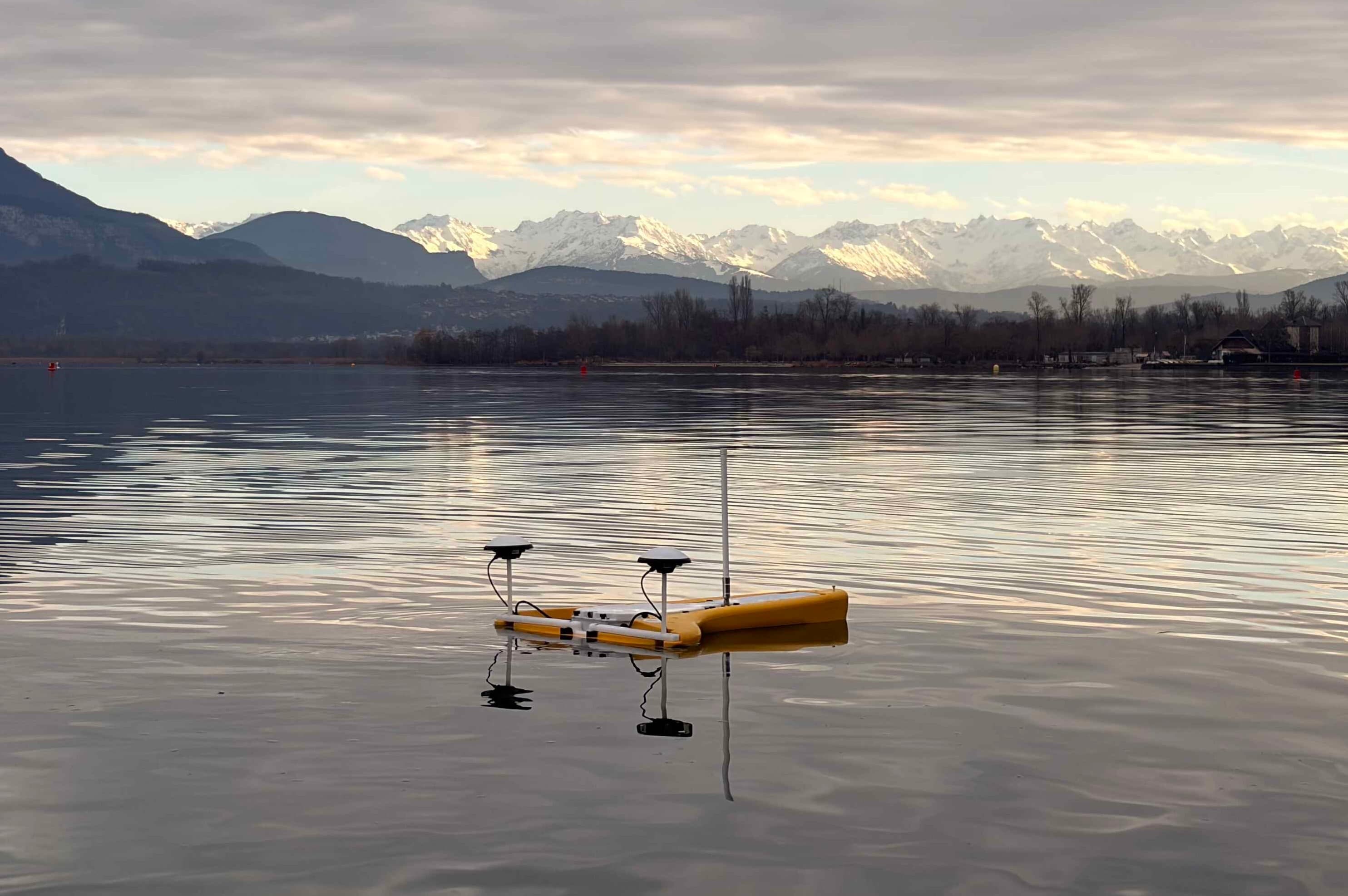
A compact, autonomous survey platform for high-resolution bathymetric mapping, pairing full GNSS/IMU positioning with a single-beam echosounder for accurate, repeatable data in shallow and confined waters.
Up to 6 m/s survey speed
Up to 15 kg payload capacity
Full GNSS + IMU positioning
Camera (optional)
5G LTE and 2.4 GHz remote connectivity
IP66 rated, -20°C to +50°C operation
Brochure not ready yet, check back soon.
Specifications
Detailed Specifications
Full technical specifications for the USV platform.
Performance
- Max Speed
- 6 m/s
- Payload Capacity
- Up to 60 kg
- Draft
- 7.5 cm
- Positioning
- Full GNSS + IMU